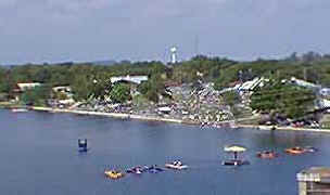
| ACCESS/CAMPING - (See Boating for Ramps and Marinas)
Public ramps are available at Johnson and Lakeside Parks (830) 693-3615, located west of the US
281 bridge on the north side of the lake. Neither park offers camping, but both have
restrooms, and Johnson park contains picnic and playground areas.
Inks Lake State Park and Longhorn Caverns State Park offer camping, and are just a
short drive from the lake. Because of the popularity of these parks, it is a good idea to
make reservations well in advance. Camping is also available at a number of private
campgrounds at nearby LBJ Reservoir.
MAPS
The LCRA (512) 473-4083 offers a map of the lake. Commercial maps may be available at
tackle and sporting goods stores.
FISHING
REGULATIONS
All fish are currently regulated under statewide
regulations, with the exception of white bass, which has a 12-inch minumum length
limit. The 12 inch minimum for white bass is designed to protect females from harvest
before they reach sexual maturity.
ANGLING OPPORTUNITIES
| Species |
Poor |
Fair |
Good |
Excellent |
| Bass |

|
|
|
|
| Catfish |
|

|
|
|
| Crappie |

|
|
|
|
| White Bass |

|
|
|
|
Sunfish |
|

|
|
|
|